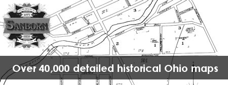
The Sanborn Maps were originally created for assessing fire insurance liability in urbanized areas in the United States. Our collection includes over 40,000 detailed maps of Ohio cities drawn between 1882 and 1962. Each map includes detailed information regarding town and building information.
Although these maps were originally published in color, our collection is digitized from microfilm and is in black and white. Thanks to a partnership with Kent State University, links to full color archival versions of maps through 1926 are now included in the Ohio Web Library results from the KSU Institutional Repository.
You can use this collection to:
- Locate the residences and workplaces of ancestors.
- Understand the significance and historical evolution of buildings.
- See what your town looked like in the past and how it has changed over time.
Go there now: http://ohioweblibrary.org/sanborn
Quick Start Guides & Tip Sheets
- Getting Started Guide (PDF) This one-page guide created by OPLIN is designed to get your patrons started.
Helpful Links
- About the Sanborn Map Collection. This guide from the Library of Congress is a detailed guide to Sanborn Fire Insurance colors, keys and symbols.